

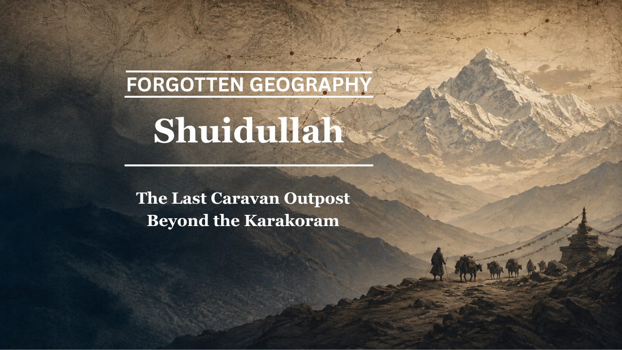
On the banks of the Karakash River, north of the Karakoram, Shahidulla once marked the point where the hardest mountain crossings gave way to the caravan roads of Yarkand and Khotan.
By Pooja Bhatia
Some places become important because caravans begin there.
Others matter because they mark the moment when travellers realise they have survived the worst part of the journey.
Shahidulla, also rendered historically as Shahidula and in some traditions as Shuidullah, belonged to this second category.
For merchants travelling north from Ladakh towards Yarkand, the crossing of the Karakoram was among the most dangerous sections of the journey. The route climbed through enormous altitudes, crossed barren valleys, passed through areas with little fuel or pasture and subjected men and animals to cold, exhaustion and hunger.
Then came the Karakash River.
And along that river stood Shahidulla.
The settlement was never a great city. It did not rival Yarkand as a market or Kashgar as a crossroads. Its importance came from location. It was a caravan halt, a frontier post, a place where routes converged and where travellers could find forage, fuel, information and, at times, administrative protection.
Bharat Nanda, in Beyond the Himalayas: Rediscovering India’s Forgotten Geography, includes Shuidullah: The Last Caravan Outpost among the forgotten places of the old Ladakh-Central Asia route. The choice is revealing. The chapter shifts attention away from the celebrated destinations of the Silk Roads and towards the practical infrastructure that allowed caravans to reach them.
Shahidulla was one such place.
The Karakash River Corridor
The geography of Shahidulla begins with the Karakash River.
The river rises in the highlands south of the Kunlun and flows northward towards the Khotan region. For caravans approaching from Ladakh, its valley offered something desperately needed after the barren high country farther south: water, grazing and a natural line through the mountains.
The official Report of a Mission to Yarkund in 1873 repeatedly identifies Shahidulla as a major point on this route. One surveyed road reached the Karakash and then followed the river directly to Shahidulla. (Digital Silk Road)
Another section of the same report describes the old road between Ladakh and Shahidulla on the Karakash, confirming that the settlement functioned as an established node on the trans-Karakoram route. (Digital Silk Road)
This was not theoretical geography.
British surveyors, Indian assistants, Central Asian guides and caravan travellers physically used these roads.
A Fort on the River
The 1873 mission provides one of the most vivid descriptions of Shahidulla.
A route survey records Shahidula Khoja at an elevation of about 11,780 feet, situated along the Karakash valley. It describes a fort there with a garrison of around thirty men and identifies the place as a frontier post of Kashgar. Fuel and forage were available, and Kirghiz camps were found nearby. (Digital Silk Road)
For a traveller who had just crossed terrain where pasture and fuel could be almost nonexistent, such details were not trivial.
A patch of grazing meant animals could recover.
Brushwood meant a fire.
A fort meant authority.
Nearby camps meant people who knew the road ahead.
Shahidulla therefore represented more than a mark on a map.
It represented survival infrastructure.
The First Outpost of Another World
The same Yarkand Mission account makes a particularly revealing observation: Shahidulla was the first point where the mission encountered the people and authority of the ruler of Kashgar. (Digital Silk Road)
That single detail explains much of the settlement’s historical significance.
For travellers coming from Ladakh, Shahidulla marked a transition.
Behind them lay the Karakoram and the high road south.
Ahead lay the road system of southern Xinjiang and the great markets of Yarkand.
Geographically, the mountains had not entirely ended.
Culturally and administratively, however, the traveller had entered another zone.
This made Shahidulla a threshold.
From Leh to Shahidulla
The road southwards from Shahidulla was exceptionally difficult.
The principal Leh-Yarkand caravan route crossed the Karakoram Pass, one of the highest major caravan passes in the world. From there, travellers descended and followed routes towards the Karakash valley.
The 1873 mission recorded not only the traditional Karakoram route but also alternatives through the Chang Chenmo and Aksai Chin region. The expedition was explicitly divided so that different parties could investigate routes before regrouping at Shahidulla. (Digital Silk Road)
This tells us something important about Shahidulla’s role.
Different routes could diverge south of it.
Different explorers could approach from different directions.
But they converged again at Shahidulla.
The place functioned as a hinge between the mountain network and the roads leading north.
Why Merchants Preferred Some Roads Over Others
Not every surveyed road became a successful caravan road.
The 1873 mission noted that routes across Lingzi Tang and Aksai Chin subjected travellers and animals to prolonged extreme altitude, hunger and thirst. The report concluded that such difficulties would continue to discourage experienced merchants from using them regularly. (Digital Silk Road)
This is a useful reminder that historical routes were selected by practicality rather than cartographic elegance.
A shorter line on a map might be worse in reality.
Merchants cared about grass.
Fuel.
Water.
Gradient.
Snow.
Safety.
The survival of pack animals.
The route to Shahidulla therefore evolved through generations of practical experience.
The mountain world itself decided which roads became commercially important.
A Junction Towards Yarkand
Shahidulla was also important because several routes fanned northwards from it.
One route proceeded towards Yarkand, the great market with which Ladakh maintained extensive commercial ties.
The 1873 mission recorded a route from Yarkand to Shahidulla through Kilik and described it as shorter and better than some alternatives. The itinerary ended at Shahidulla after passing through a chain of camps and mountain crossings, and the informant claimed that a horseman could reach Shahidulla from Yarkand in roughly five days. (Digital Silk Road)
This places Shahidulla firmly within the road system of Yarkand.
It was not merely a southern outpost.
It was connected directly into the commercial geography of the Tarim Basin.
Another Road Led Towards Khotan
Yarkand was not the only destination.
The same mission report states that another road ran from Shahidulla to Khotan down the Karakash River, eventually reaching the oasis region through routes north of the mountains. (Digital Silk Road)
This dramatically expands the historical significance of the outpost.
From Shahidulla, a traveller could move towards Yarkand.
Another could follow the Karakash towards Khotan.
Southwards lay Ladakh.
The settlement therefore stood at a meeting point between three geographical worlds.
Ladakh.
Yarkand.
Khotan.
A small caravan station could thus sit at the centre of an enormous network.
Jade Along the Karakash
The Karakash was valuable for more than transportation.
The wider region was historically associated with jade, the material for which Khotan became famous.
The 1873 mission recorded old jade quarries along the Karakash only a short distance from Shahidulla. One account places them near the Kirghiz encampment at Belakchi, roughly twelve miles south-east of Shahidulla. (Digital Silk Road)
This adds another layer to the geography.
The Karakash valley was not simply a corridor.
It belonged to the economic hinterland of Khotan’s celebrated jade trade.
Travellers moving through Shahidulla therefore entered a landscape connected not only with long-distance commerce but also with one of Central Asia’s most prized resources.
Fort, Camp and Caravan Halt
The surviving nineteenth-century descriptions of Shahidulla vary according to date and circumstance.
One route describes a fortified frontier post with a small garrison. (Digital Silk Road)
Another records a small deserted fort on the left bank of the Karakash but still notes abundant grass and fuel. (Digital Silk Road)
The difference is useful rather than contradictory.
Frontier outposts could rise and decline quickly.
Political authority changed.
Garrisons moved.
Buildings were abandoned and reoccupied.
But the reason people stopped there remained essentially geographical.
Water was there.
Pasture was there.
Roads met there.
A fort might disappear.
The caravan halt remained useful.
Why Shahidulla Was Not a City
It is easy to judge historical importance by urban scale.
That would be a mistake here.
Shahidulla did not need a large permanent population because much of its significance came from transient populations.
Caravans arrived.
Kirghiz pastoralists camped nearby.
Officials passed through.
Survey parties stopped.
Merchants rested animals.
Guides were hired.
News about road conditions was exchanged.
In such places, movement itself created importance.
This is one of the themes that makes Nanda’s treatment of Shahidulla valuable. Beyond the Himalayas directs attention towards the intermediate stations without which the famous India-Central Asia trade routes could not have functioned.
The history of caravan trade is not only the history of Leh and Yarkand.
It is also the history of everywhere between them.
A Geography Measured in Forage
One detail appears repeatedly in old route reports:
grass and fuel.
Modern travellers rarely think of these as fundamental geographical variables.
Caravan travellers had no choice.
A loaded pony could not survive indefinitely without grazing.
A camel needed food.
Travellers required fuel to cook and survive freezing nights.
The route descriptions therefore read almost like ecological maps.
At one stage: no pasture.
At another: brushwood.
At another: grass abundant.
At Shahidulla: forage and fuel.
The value of the outpost lay partly in these ordinary resources.
History often remembers trade goods worth fortunes.
The caravan survived because of grass.
Shahidulla as a Meeting Place
The presence of Kirghiz camps around the settlement is particularly important.
Pastoral communities possessed intimate knowledge of mountain geography.
They knew seasonal pastures.
Water sources.
Passes.
Weather patterns.
Routes between valleys.
Caravan travellers depended heavily upon local knowledge of this kind.
Thus Shahidulla was more than a fixed point between Ladakh and Yarkand.
It was a place where sedentary trade, mobile pastoralism and state authority intersected.
A merchant might arrive from Leh.
A Kirghiz herder might be camped nearby.
An official from Kashgar could occupy the fort.
A surveyor might be measuring altitude.
All could occupy the same small landscape for entirely different reasons.
That is what a true caravan crossroads looked like.
The Road Was Larger Than the Outpost
The story of Shahidulla is ultimately the story of the road itself.
Southwards, the route climbed towards Suget and the Karakoram.
Northwards, roads opened towards Yarkand.
Eastwards and north-eastwards, the Karakash led towards Khotan.
Alternative tracks connected with the high plains of Aksai Chin.
The outpost made sense only because these routes existed.
When the caravan network declined, the meaning of Shahidulla changed with it.
This is typical of transport geography.
A railway junction declines when trains stop calling.
A port fades when shipping routes move elsewhere.
A caravan post becomes obscure when caravans disappear.
The place may remain physically present while disappearing from collective memory.
The Closing of the Caravan Age
By the twentieth century, the old commercial world connecting Ladakh and southern Xinjiang entered rapid decline.
Political transformation in Central Asia and Xinjiang, new national frontiers, modern transport systems and eventually the closure of traditional cross-border trading routes undermined the economic system that had sustained the caravans.
The result was profound.
Leh lost much of its role as a staging centre for Yarkand trade.
The Karakoram caravan route ceased to function in the old way.
Serais declined.
Merchant communities dispersed.
And intermediate outposts such as Shahidulla disappeared from everyday Indian geographical memory.
Yet nineteenth-century route reports preserve them with extraordinary precision.
Distances.
Heights.
Road conditions.
Water.
Grass.
Fortifications.
Even the locations of nearby camps.
The archive reconstructs a road that the modern traveller can no longer experience in the same way.
Shuidullah, Shahidulla or Shahidula?
The spelling itself reflects the multilingual world of the route.
Historical English-language records commonly use Shahidula or Sháhidúla.
Modern references often use Shahidulla or Shahidullah.
Bharat Nanda’s chapter uses Shuidullah.
Such variation is normal in Central Asian and Himalayan toponymy.
Names passed orally among speakers of different languages and were then written in Persian, Tibetan, Turkic, Urdu or English forms.
Early surveyors did not always standardise spellings consistently.
The result is that one place can survive in the archive under several forms.
Rather than treating the variations as separate places, historical geography must compare route descriptions, rivers and neighbouring landmarks.
In this case, the Karakash River provides the anchor.
The outpost is identifiable through geography even when spelling varies.
What the Records Establish
The evidence surrounding Shahidulla is unusually strong.
The 1873 Yarkand Mission repeatedly identifies it as an established point on the road between Ladakh and Yarkand. (Digital Silk Road)
Survey records describe its altitude, fort, garrison, forage and surrounding Kirghiz camps. (Digital Silk Road)
Routes from Yarkand converged there. (Digital Silk Road)
A road towards Khotan followed the Karakash from the same area. (Digital Silk Road)
Nearby jade workings connected the valley economically with Khotan. (Digital Silk Road)
There is therefore no need to romanticise Shahidulla.
Its historical importance is already documented.
The Last Outpost
Imagine arriving there from Ladakh in the nineteenth century.
Behind you lies the Karakoram.
Animals have struggled through thin air and barren ground.
Some stretches offered almost no fuel.
Others offered almost no grass.
Cold has followed the caravan for days.
Then the valley opens around the Karakash.
There is water.
There is vegetation.
There may be a fort.
Kirghiz camps stand nearby.
Officials representing Kashgar can be encountered.
Roads ahead lead towards Yarkand and Khotan.
For the traveller, Shahidulla would have felt less like an insignificant outpost and more like the return of civilisation.
This is why the place deserves to be remembered.
The great caravan towns depended upon small outposts.
Yarkand’s bazaars depended upon mountain roads.
Those roads depended upon places where men and animals could survive another night.
Bharat Nanda’s Beyond the Himalayas: Rediscovering India’s Forgotten Geography restores Shuidullah to that older map.
Modern geography barely remembers the name.
The caravan records remember it clearly.
On the banks of the Karakash, between the Karakoram and the markets of the Tarim Basin, stood one of the last outposts on the road north.
That is forgotten geography.
Pooja Bhatia is a media analyst and law graduate with an interest in history and geopolitics.
