

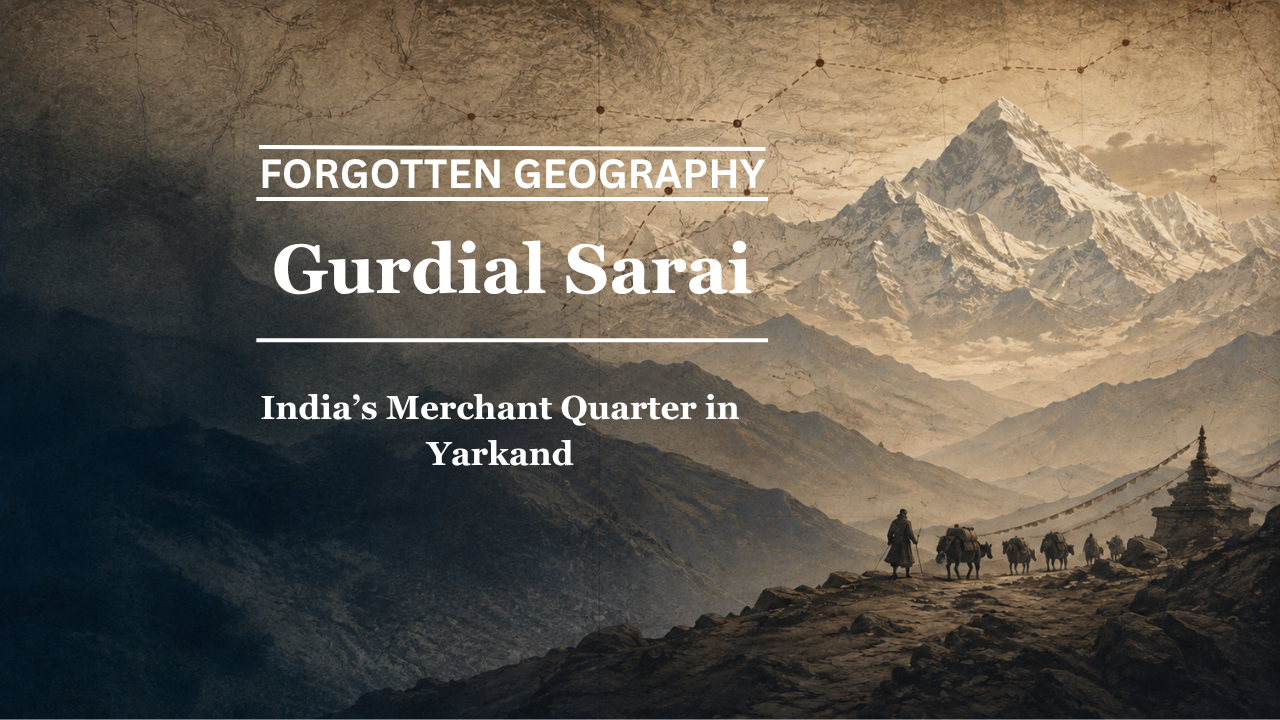
Beyond the Karakoram, in the great oasis city of Yarkand, Indian merchants once maintained their own lodging houses, shops and trading networks. Gurdial Sarai preserves the memory of that commercial world.
By Pooja Bhatia
Yarkand once stood among the most important commercial cities linking India with Central Asia.
Situated on the southern edge of the Taklamakan Desert, the oasis lay at the meeting point of caravan routes coming from Kashgar, Khotan, Ladakh and the wider Central Asian world. For Indian merchants, especially those from Kashmir, Ladakh and Punjab, Yarkand was not an unknown foreign city at the end of an impossible road. It was a familiar market reached through a difficult but established commercial corridor.
One surviving name captures that forgotten connection with unusual clarity:
Gurdial Sarai.
The Ministry of External Affairs’ Encyclopedia of India-China Cultural Contacts notes that Indian merchants were a familiar presence in Yarkand for centuries. Many seasonal traders stayed in serais intended specifically for them, while some established themselves more permanently. It records that names such as “Gurdial serai” and “Kashmir kucha”, or Kashmir Lane, preserved the memory of this Indian commercial presence in the city. (MEA CMS)
Bharat Nanda, in Beyond the Himalayas: Rediscovering India’s Forgotten Geography, includes Gurdial Sarai: India’s Merchant Quarter in Yarkand within his reconstruction of the caravan roads beyond the Himalayas. Here the forgotten geography is especially tangible. It is not an uncertain ancient name reconstructed from scattered manuscripts. It is the surviving memory of an Indian trading community that physically lived and worked in one of Central Asia’s great markets.
Yarkand at the End of the Karakoram Road
The road from India to Yarkand was among the most demanding commercial routes in Asia.
A trader leaving Kashmir could travel through Srinagar, Sonamarg, Drass and Kargil before reaching Leh. From Ladakh, caravans moved through the Nubra region and crossed the formidable Karakoram Pass before descending towards the routes leading to Yarkand.
The journey was measured in weeks, not days.
The Ministry of External Affairs records that the Leh-Yarkand route through the Karakoram Pass was the preferred trading route for merchants from Punjab and Kashmir, and that the journey from Leh to Yarkand generally took nearly a month. (MEA CMS)
Every part of that journey depended upon animals, weather and supplies.
Snow could close the passes.
Pack animals could die from exhaustion or lack of grazing.
Rivers could become dangerous.
A merchant might have substantial capital tied up in goods moving at walking pace through some of the harshest terrain in the world.
Yet the route endured because the profits and commercial relationships at the other end were valuable enough to justify the risk.
What Indian Merchants Carried North
Yarkand’s bazaars reveal how closely its economy was connected with northern India.
According to the MEA encyclopedia, Indian merchants carried goods such as cotton piece-goods, indigo, spices, tea and coral into Yarkand. Returning caravans brought products including silver ingots, wool, felt, carpets and silk southwards. (MEA CMS)
K. Warikoo’s study of Himalayan trade adds further detail. Indian traders moving through Ladakh carried cotton fabrics, brocades, Kashmir shawls, indigo, spices, dyed goat skins, preserved fruit, coral, medicines, sugar and books. In return, Central Asian commerce supplied precious metals, wool, carpets, felt, silk, leather goods, tea and horses. (Perlego)
This was not marginal trade.
It connected several regional economies.
Kashmir’s famous shawl industry depended upon wool imported through trans-Himalayan channels.
Punjab supplied manufactured goods.
Ladakh served as the great intermediate commercial zone.
Yarkand functioned as the principal Central Asian market.
The caravan route was therefore an economic system extending across mountains that modern maps make appear almost impenetrable.
The Indian Quarter of Yarkand
Trade created communities.
Most Indian merchants travelled seasonally and attempted to return before winter made the mountain passes dangerous. Others remained longer. Some families established commercial roots in Xinjiang over several generations.
The Encyclopedia of India-China Cultural Contacts states that the largest concentration of Indian traders among the towns of southern Xinjiang was found in Yarkand. Many were Kashmiri merchants, while businessmen and moneylenders from Shikarpur in Sindh were also present. (MEA CMS)
This is where Gurdial Sarai becomes historically important.
A sarai was far more than an inn.
It was accommodation.
Warehouse.
Business address.
Meeting place.
Information centre.
A newly arrived merchant could find people who spoke familiar languages and understood the commercial customs of his region.
Goods could be stored.
Accounts settled.
Caravan news exchanged.
Transport organised.
Credit negotiated.
In an unfamiliar foreign city, the sarai created familiarity.
What Was Gurdial Sarai?
The exact institutional history of Gurdial Sarai deserves further archival work, but its association with Indian merchants in Yarkand is independently documented.
The MEA encyclopedia specifically identifies Gurdial serai as one of the place names in Yarkand that still recalled the city’s old connection with India. (MEA CMS)
Other accounts of the historical Ladakh-Yarkand trade likewise refer to Gurdial Sarai and Kashmiri Kucha as places where Indian merchants stayed or conducted business. (IAS Exam Portal)
This immediately separates Gurdial Sarai from several more speculative place-name questions examined in this series.
There is no need here to infer an Indian connection from similarities between names.
The Indian connection is the subject of the name itself.
Kashmir Kucha: A Lane From Another World
Perhaps even more evocative than Gurdial Sarai is the surviving reference to Kashmir Kucha.
Kucha here means a lane or neighbourhood.
A Kashmir Lane in Yarkand implies something beyond occasional visits.
It suggests concentration.
Recognition.
A community sufficiently established to give its identity to part of the urban landscape.
That is a powerful historical image.
Hundreds of kilometres beyond the Karakoram, in an oasis city now within Xinjiang, there existed a part of town known through its association with Kashmir.
The MEA encyclopedia preserves both Kashmir Kucha and Gurdial Sarai as reminders of the centuries-long commercial connection between Yarkand and India. (MEA CMS)
This is forgotten geography in one of its clearest forms.
The modern map shows distance.
The historical city remembered neighbourhoods.
How Large Was the Kashmiri Presence?
Nineteenth-century observers left striking estimates.
Research on Kashmir-Central Asia trade cites Alexander Cunningham, who wrote in the mid-nineteenth century that earlier information placed Yarkand’s population at roughly fifty to sixty thousand and suggested that hundreds of houses belonged to Kashmiris. The same scholarship notes Kashmiri merchant communities not only in Yarkand but also in Kashgar, Khotan and other Central Asian centres. (ResearchGate)
Such numerical estimates should be treated with caution because nineteenth-century population counts were often approximate.
But the broad conclusion is supported by multiple sources:
the Indian merchant presence in Yarkand was substantial and visible.
It was not represented by one adventurous trader.
It was a commercial diaspora.
Leh Was the Southern Partner
To understand Gurdial Sarai, one must also understand Leh.
Leh was the southern counterpart to Yarkand in this trading system.
Caravans from Kashmir, Punjab, Himachal and elsewhere converged there before attempting the northern journey.
Central Asian merchants arriving from Yarkand also stayed in Leh, often for extended periods while conducting business.
Warikoo describes the Srinagar-Leh-Yarkand route as the longest-established and most important road connecting India with Central Asia through this region. The Dogra administration maintained sections of the route, while the 1870 commercial agreement between Maharaja Ranbir Singh and British Indian representatives led to further spending on roads and serais along what came to be known as the Treaty Road. (Perlego)
This created a chain of commercial infrastructure.
Srinagar had serais.
Leh had serais.
The caravan road had rest houses.
Yarkand had Gurdial Sarai.
The route was therefore not merely a line across a map.
It possessed institutions.
Srinagar Had a Yarkand Sarai Too
The symmetry is remarkable.
Indian merchants in Yarkand had their recognised lodging and commercial spaces.
Central Asian traders arriving in Kashmir had theirs.
In Srinagar, Yarkand Sarai, also associated with Safa Kadal, became a centre for traders arriving from Yarkand, Kashgar, Bukhara and other Central Asian regions. Historical recollections describe commodities from Central Asia being traded there and Yarkandi families settling around the commercial quarter. (Kashmir Forum)
The two cities effectively mirrored one another.
Yarkand had Indian merchants.
Srinagar had Yarkandi merchants.
Goods moved in both directions.
People occasionally settled far from the places where they had been born.
Cuisines, clothing, vocabulary and family histories followed the caravans.
This was not simply trade between two anonymous economic regions.
It was sustained human contact.
The Karakoram Was Difficult, Not Closed
The existence of communities such as those associated with Gurdial Sarai forces a reconsideration of how the Karakoram is imagined historically.
The mountains were unquestionably formidable.
Altitude killed animals.
Snowstorms could kill people.
Caravans sometimes lost substantial portions of their cargo.
The Karakoram Pass itself rises above 5,500 metres.
Yet merchants kept crossing.
This is why describing the Himalayas and Karakoram simply as barriers is inadequate.
They were barriers with roads through them.
The routes were dangerous enough to command respect, but viable enough to sustain commerce over generations.
Gurdial Sarai could exist only because the mountains were crossed repeatedly.
The Merchant Network Behind the Caravan
Long-distance trade also required more than merchants.
There were caravan leaders.
Pony men.
Camel handlers.
Porters.
Moneylenders.
Interpreters.
Local guides.
Warehouse owners.
Customs officials.
Food suppliers.
Craftsmen who repaired saddles and equipment.
A caravan represented an entire economic ecosystem.
Warikoo’s research records how people from Ladakh and Baltistan participated at many levels of this system, from larger-scale commerce to portering and transport work. (Perlego)
The merchant standing in Yarkand’s bazaar was therefore only the visible end of a chain extending all the way back towards Leh, Kashmir and the plains of northern India.
Gurdial Sarai was one node in that chain.
Commerce Also Carried Culture
Trade never moves only commodities.
A Kashmiri merchant living in Yarkand brought language, food habits and social customs.
A Yarkandi trader wintering in Kashmir carried his own.
People formed relationships.
Some married.
Some settled.
Words entered local vocabularies.
Clothing styles travelled.
Recipes moved.
Stories about distant places became familiar.
The double-humped Bactrian camels still associated with Ladakh’s Nubra Valley are often remembered as one material legacy of the old Central Asian caravan trade.
The animals are living reminders that Ladakh once belonged to a commercial environment stretching beyond the Karakoram.
Gurdial Sarai represents the urban counterpart of that memory.
India in the Bazaar of Yarkand
The MEA account offers perhaps the clearest description: Indian goods and Indian merchants were a familiar presence in Yarkand’s bazaars for centuries. (MEA CMS)
That statement deserves attention because it radically changes the mental map.
Yarkand was not simply a Central Asian city occasionally visited by Indians.
Indian commerce formed a recognised part of its urban life.
Cotton cloth from the subcontinent might appear beside Central Asian wool.
Spices carried over the mountains could be sold in the same markets as felt and silk destined for Ladakh.
A merchant from Kashmir might negotiate beside a trader from Andijan.
A Shikarpuri financier could participate in the credit economy.
The Silk Road was not a collection of isolated national trading systems.
It was an overlapping commercial world.
Why the Sarai Mattered
The institution of the sarai made such a world possible.
Caravan travel involved enormous uncertainty.
When merchants reached a destination after weeks in the mountains, they required somewhere safe enough to store high-value goods.
A recognised merchant sarai solved several problems simultaneously.
Accommodation reduced vulnerability.
Community reduced cultural isolation.
Warehousing reduced commercial risk.
Other merchants provided information about prices.
New caravans brought news about the passes.
Trust networks helped extend credit.
The building therefore became an economic institution.
Calling Gurdial Sarai simply an inn understates its importance.
It was part of the infrastructure of Indo-Central Asian commerce.
The End of the Old Road
This centuries-old commercial system declined sharply during the twentieth century.
Political upheaval in Xinjiang during the 1930s and 1940s disrupted established merchant communities. According to the MEA encyclopedia, many Indian traders were compelled to leave during this period, and by the late 1940s the traditional India-Xinjiang trade had dwindled almost completely before stopping. (MEA CMS)
The old caravan world disappeared remarkably quickly.
Routes that merchants had known for generations stopped functioning as commercial arteries.
Settlements that had depended upon caravan traffic changed character.
Families found themselves separated.
Serais lost their original purpose.
The geography remained.
The network vanished.
A Name That Outlived the Trade
This is what gives Gurdial Sarai such historical power.
The caravans have disappeared.
The merchant community largely disappeared.
The economic system that sustained it disappeared.
But the name survived long enough to enter modern historical documentation.
A place name became an archive.
It preserved the memory of people who once crossed the Karakoram so routinely that they required their own commercial quarter in Yarkand.
Bharat Nanda’s Beyond the Himalayas: Rediscovering India’s Forgotten Geography uses Gurdial Sarai precisely in this spirit. Here, forgotten geography is not about claiming that an ancient place secretly bore an Indian name. It is about recovering documented evidence that Indian communities physically participated in the commercial life of cities now perceived as geographically distant. The chapter places Gurdial Sarai among the caravan landscapes that connected Ladakh with Yarkand and the wider Tarim Basin.
What Can Be Established With Confidence
The underlying historical picture is unusually strong.
Yarkand was a major commercial centre on the southern side of the Tarim Basin.
The Leh-Yarkand road through the Karakoram was an established route used extensively by merchants from Kashmir and Punjab. (MEA CMS)
Indian merchants formed a significant presence in Yarkand, particularly Kashmiris, alongside traders and financiers from other parts of the subcontinent. (MEA CMS)
Indian merchants commonly stayed in dedicated serais.
And official Indian scholarship explicitly preserves the names Gurdial Sarai and Kashmir Kucha as reminders of this commercial connection. (MEA CMS)
Those facts require no speculative etymology.
They are history.
India’s Merchant Quarter Beyond the Karakoram
Imagine Yarkand during the trading season.
Caravans arrive exhausted after crossing the mountains.
Bundles of cotton cloth are unloaded.
Spices and indigo enter the bazaar.
Wool and felt are inspected for the return journey.
Men from Kashmir discuss prices.
Moneylenders calculate credit.
Caravan leaders exchange information about snow on the passes.
Someone prepares for the journey back to Leh.
Another decides to remain through the winter.
Nearby is a lane associated with Kashmir.
And somewhere within that commercial world stands a sarai remembered as Gurdial Sarai.
The image seems surprising only because the geographical memory has faded.
For the merchants who used the road, nothing about it was extraordinary.
Yarkand was simply where business took them.
Modern maps place the city beyond some of Asia’s highest mountain barriers.
Historical commerce placed it at the other end of the road from Leh.
Gurdial Sarai stood where those two worlds met.
And its name reminds us that the Karakoram once connected communities as surely as it separated landscapes.
That is forgotten geography.
Pooja Bhatia is a media analyst and law graduate with an interest in history and geopolitics.
