

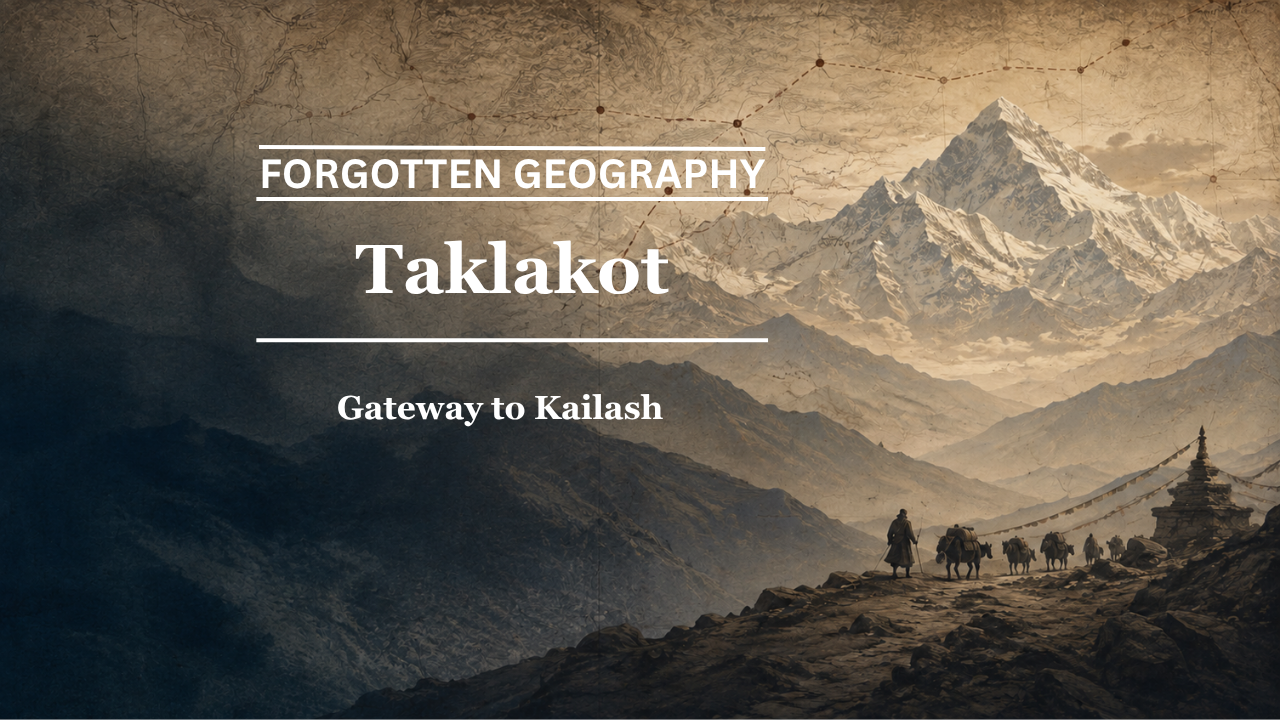
FORGOTTEN GEOGRAPHY
Taklakot: Gateway to Kailash
Before modern pilgrimage arrangements and motor roads, Taklakot stood at one of the most important junctions between the Indian Himalayas, western Tibet and the sacred landscape of Kailash-Manasarovar.
By Pooja Bhatia
Some places become important because they are destinations.
Others become important because almost everyone heading towards a greater destination has to pass through them.
Taklakot belongs to the second category.
Known today more commonly as Purang, the settlement lies in western Tibet, close to the routes descending towards Nepal and the Indian Himalayas. For generations of traders, officials, pilgrims and local communities, it served as a market town and staging point on the approaches to Mount Kailash and Lake Manasarovar.
Its significance came from geography.
To the north and east lay the sacred landscape of Kailash.
To the south were passes leading towards Kumaon and Nepal.
To the west stretched routes towards Ladakh and the wider trans-Himalayan world.
Taklakot stood where these roads met.
Bharat Nanda includes “Taklakot: Gateway to Kailash” in Beyond the Himalayas: Rediscovering India’s Forgotten Geography, placing the town within a sequence of places that once linked Ladakh, the Indian Himalayas and western Tibet through trade and pilgrimage. In this case, the interest lies less in reconstructing a vanished Sanskrit name than in recovering the historical role of a familiar place whose older importance is often overshadowed by the sacred destination beyond it.
The Town Before the Mountain
Mount Kailash is one of Asia’s great sacred mountains.
For Hindus, it is associated with Lord Shiva. It is also sacred in Buddhist and Jain traditions, and the wider Kailash-Manasarovar landscape has drawn pilgrims for centuries. The Government of India’s Kailash Manasarovar Yatra portal continues to describe the pilgrimage as having major religious and cultural significance for Hindus, Buddhists and Jains. (KMY)
Yet pilgrims did not simply arrive at Kailash.
They had to cross the Himalayas.
They needed food.
They required pack animals.
They needed places to exchange currency, hire guides, obtain supplies and rest after difficult stages of travel.
Historically, Taklakot fulfilled many of these practical needs.
The sacred geography of Kailash therefore depended upon a much more ordinary geography of markets, passes, villages and caravan halts.
Taklakot was one of the most important of them.
Taklakot and Purang
The town is known by more than one name.
Taklakot became familiar in Indian travel writing, administrative records and pilgrimage accounts.
Purang is the name more widely used in Tibetan geographical and historical contexts.
The wider district also appears in academic literature under forms such as Puhrang or sPu-rang.
This multiplicity is typical of Himalayan geography.
A single place may appear differently in Tibetan, Hindi, English, Nepali or older travel records.
The differences do not necessarily indicate different settlements.
They reflect the languages of the people who passed through them.
A Junction of India, Nepal and Tibet
Purang occupied a remarkable position near the meeting zone of several cultural regions.
Routes from Kumaon crossed the Himalayas through passes including Lipulekh.
Routes from Nepal approached western Tibet from the south.
Roads continued farther into the plateau towards Kailash, Manasarovar and the old centres of western Tibet.
The historical importance of this network is reflected in academic work on western Tibetan religious and commercial history. A study of the Khorchag monastery in the Purang district describes a trade and pilgrimage route linking Nepal and India with the Kailash region, showing how Purang belonged to a much broader trans-Himalayan corridor. (JSTOR)
This is the essential point.
Taklakot was not simply a town near Kailash.
It was one of the gateways through which the outside world approached Kailash.
Lipulekh and the Indian Route
For Indian pilgrims, one of the oldest and most important approaches crossed through the Kumaon Himalayas.
The Lipulekh Pass provided access from present-day Uttarakhand towards western Tibet.
The Government of India continues to organise the Kailash Manasarovar Yatra through Lipulekh, alongside the more recently established Nathu La route. (KMY)
Modern infrastructure has altered the journey dramatically, but the geographical logic remains ancient.
The pass opens into a route leading towards the Purang-Taklakot region.
From there, travellers continue towards Lake Manasarovar and Mount Kailash.
This makes Taklakot a natural staging point between the Himalayan crossing and the sacred landscape beyond.
Pilgrimage Was Also Logistics
Modern descriptions of pilgrimage often emphasise devotion.
Historical pilgrimage demanded logistics.
A journey from the Indian plains towards Kailash could take weeks.
Travellers climbed from river valleys into increasingly harsh terrain.
Pack animals required grazing.
Food had to be rationed.
Snow could close passes.
Illness at altitude could stop an expedition entirely.
A market settlement such as Taklakot therefore had enormous practical value.
Pilgrims could replenish supplies.
Merchants could exchange goods.
Local guides possessed information about weather and road conditions.
Animals could be replaced or rested.
The spiritual journey depended upon this practical world.
Forgotten geography often lies precisely here: behind famous destinations, in the settlements that made reaching them possible.
A Trading Town as Well as a Pilgrim Halt
Taklakot was not sustained by pilgrims alone.
It was also an important trans-Himalayan trading centre.
The Himalayan frontier historically supported exchanges in wool, salt, grain, tea, livestock, cloth and other commodities.
Communities on both sides of the mountains adapted their economies to altitude and scarcity.
The Tibetan plateau produced commodities that were valuable in the Himalayan valleys.
Indian and Nepali traders brought goods that were difficult to obtain on the plateau.
Market towns near major passes naturally became points of exchange.
Taklakot’s importance therefore rested upon the overlap between pilgrimage and trade.
The same road could carry a pilgrim heading towards Kailash and a trader heading towards market.
The same campsite served both.
The same pass connected sacred and commercial worlds.
The Sacred Landscape Beyond Taklakot
From Taklakot, the geography opens towards two of Asia’s most celebrated sacred features.
Lake Manasarovar lies near Mount Kailash and has long been revered in Indian religious tradition.
Mount Kailash itself rises farther north, visually distinctive and culturally immense despite not being among the Himalayas’ highest peaks.
For centuries, people travelled extraordinary distances to reach this landscape.
The continued importance of these routes is visible even today. The official Kailash Manasarovar Yatra programme identifies the pilgrimage as a major religious undertaking and organises access through the Himalayan passes in cooperation with Chinese authorities. (KMY)
Modern administration has formalised a journey that historically depended upon far more fluid networks of local movement.
Taklakot stood inside that older system.
Purang and Western Tibetan Civilisation
The Purang region is historically significant beyond pilgrimage.
It formed part of the political and religious world of western Tibet, closely linked with neighbouring Guge and other centres that flourished after the fragmentation of the Tibetan Empire.
Academic studies of the region identify Purang as an important part of this western Tibetan cultural sphere.
The Khorchag monastery, located in the Purang district, is particularly significant. Scholarship describes it as one of the early major monastic foundations of western Tibet, alongside Nyarma in Ladakh and Tholing in Guge. (JSTOR)
This is an extraordinary geographical triangle.
Nyarma lay in Ladakh.
Tholing lay in Guge.
Khorchag lay in Purang.
Religious and artistic connections therefore stretched across regions now separated by modern political boundaries.
The monastery network demonstrates that the western Himalayas and western Tibet once belonged to an intensely connected Buddhist cultural world.
Ladakh, Purang and a Shared Religious Landscape
This connection also complicates the way modern maps encourage us to divide regions into neat cultural compartments.
Ladakh was Buddhist.
Western Tibet was Buddhist.
Monasteries, teachers, artists and texts moved between them.
Political authority changed over time, but religious geography often crossed political boundaries.
The academic comparison between Khorchag, Nyarma and Tholing is especially revealing because it places monuments from present-day Ladakh and western Tibet within the same historical artistic and religious development. (JSTOR)
Taklakot belonged to this world.
Its role as a gateway to Kailash was only one part of a much broader network of movement between Himalayan and Tibetan societies.
The Market as an Archive
Markets are often overlooked as historical sources.
Yet a traditional market preserves geography in human form.
Who comes there?
What languages are spoken?
What goods arrive?
Which roads feed into it?
Where do the traders go next?
A market at Taklakot brought together people approaching from multiple directions.
Indian traders from the Himalayan valleys.
Nepali traders.
Tibetan pastoralists.
Pilgrims.
Local officials.
Monks.
Each arrived carrying not only commodities but knowledge.
News travelled through markets.
Route information travelled.
Religious ideas travelled.
Place names travelled.
A market town was therefore an information centre as much as a commercial one.
Why Taklakot Became Familiar in India
The name Taklakot entered Indian public memory particularly through pilgrimage accounts.
Travellers approaching Kailash-Manasarovar through the Kumaon route regularly encountered the settlement after crossing into Tibet.
For many pilgrims, it represented the first substantial halt beyond the Himalayan frontier.
Consequently, Taklakot became associated almost inseparably with the Kailash journey.
This is still visible in older guidebooks and travel narratives, where the town appears not as an independent destination but as a stage on the road to something greater.
That subordinate role may explain why its deeper history is often ignored.
Everyone remembers Kailash.
Fewer remember the gateway.
The Modern Route and an Older Geography
The modern Kailash Manasarovar pilgrimage is highly organised.
The Ministry of External Affairs currently identifies two principal routes for Indian pilgrims: one through Lipulekh Pass in Uttarakhand and another through Nathu La in Sikkim. (KMY)
The Nathu La route was formally introduced in 2015 to supplement the older Lipulekh approach. (Press Information Bureau)
These contemporary arrangements are quite different from historical pilgrimage.
Yet the Lipulekh route still reveals the older geographical logic.
Cross the pass.
Enter the Purang region.
Move towards Kailash and Manasarovar.
Modern administration has changed the means of travel.
The mountains have not changed their position.
More Than a Pilgrim Route
It would nevertheless be a mistake to describe Taklakot only through religion.
The town mattered because several forms of movement converged there.
Trade.
Pilgrimage.
Pastoral movement.
Administrative travel.
Monastic connections.
This layered function is precisely why Nanda places Taklakot within Beyond the Himalayas rather than treating Kailash alone as the historical subject. The book’s structure directs attention towards the roads and intermediary places that connected the Indian Himalayan world with the Tibetan plateau.
The famous destination is only part of the geography.
The road towards it is equally historical.
The Meaning of a Gateway
Calling Taklakot a “gateway” can sound metaphorical.
Historically, it was almost literal.
Beyond the high Himalayan passes, travellers required a place where the mountain crossing could be converted into onward movement across the plateau.
Taklakot provided that transition.
Behind lay steep Himalayan valleys.
Ahead stretched western Tibet.
Nearby stood the road towards Kailash.
A gateway need not have walls.
Sometimes geography itself creates one.
What Can Be Established
The broad historical picture is strong.
Purang-Taklakot lies within the traditional route system connecting India and Nepal with the Kailash region. Academic work explicitly identifies trade and pilgrimage links running through this western Tibetan landscape. (JSTOR)
The Lipulekh corridor has a long association with Kailash-Manasarovar travel and remains an officially recognised route today. (Kumaon)
Purang also belonged to the important Buddhist cultural world of western Tibet, with Khorchag monastery linked historically and artistically to centres in Guge and Ladakh. (JSTOR)
The uploaded edition of Beyond the Himalayas identifies Taklakot as the “Gateway to Kailash”, placing it explicitly within Bharat Nanda’s reconstruction of this older trans-Himalayan geography.
The Place Before the Destination
Taklakot teaches an important lesson about historical geography.
Destinations dominate memory.
Routes disappear.
People remember Kailash because it is sacred.
They remember Manasarovar because it is sacred.
But the historical pilgrimage was made possible by dozens of lesser-known places.
Passes.
Villages.
Markets.
Streams.
Pastures.
Taklakot was one of the most important of them.
Here, a pilgrim crossing from India entered the world of western Tibet.
Here, traders exchanged the products of plateau and valley.
Here, Buddhist cultural networks connected Purang with Guge and Ladakh.
And from here, the sacred landscape of Kailash lay ahead.
The modern map remembers Purang.
Generations of Indian pilgrims remember Taklakot.
Both names belong to the same gateway.
And behind that gateway lies a much older world in which the Himalayas were difficult to cross, but never impossible.
That is forgotten geography.
Pooja Bhatia is a media analyst and law graduate with an interest in history and geopolitics.
