

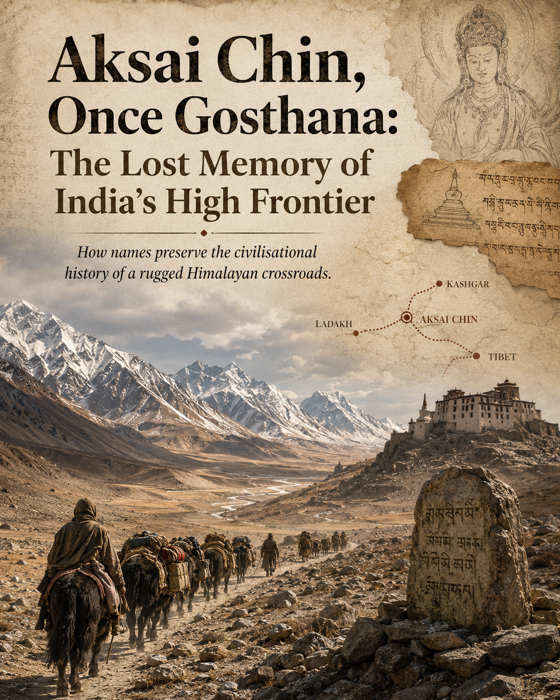
The story of Aksai Chin is usually told through the language of maps, military positions and modern boundary disputes. It is seen today as a barren, high-altitude plateau caught between strategic interests. Yet, behind this difficult landscape lies an older story, one carried not only by armies and borders, but by names, routes, traders, pilgrims and civilisations that once met across this harsh frontier.
Aksai Chin sits at an average height of around 4,300 metres, between Ladakh, Tibet and Xinjiang. It is a land of salt flats, stony desert and cold emptiness, where human settlement has always been limited. Because of this, the names attached to the region were often given by those who passed through it or looked upon it from the edges. Traders, monks, local kingdoms and imperial cartographers all left their imprint on the way this region was remembered.
In ancient Indian geographical imagination, the larger cultural world around this frontier was connected with the name Gosthana. The word is Sanskrit in origin, formed from “Go”, meaning cow or yak, and “Sthana”, meaning place. Gosthana broadly referred to the oasis civilisation north of the Kunlun range, a region more commonly associated in later historical writing with Khotan. This was not merely a remote settlement on the Silk Route. It was one of the important Buddhist centres of Central Asia and had deep links with the Indian world.
Buddhist traditions speak of Gosthana as a land shaped by Indian influence, particularly through connections with Taxila and the wider north-western regions of the subcontinent. Over time, this influence took the form of religion, language, art and learning. Monasteries, manuscripts, pilgrims and teachers moved through these corridors, carrying ideas from India into Central Asia and onward towards China. In that sense, Gosthana was not an isolated oasis. It was part of a larger civilisational bridge.
The geography of this region also explains why Aksai Chin cannot be understood as a blank space in history. While the main centres of settlement lay north of the high mountains, the routes connecting Ladakh, the Karakoram, the Kunlun passes and the Buddhist centres of Central Asia passed through or around this difficult terrain. For monks and traders, these were not empty lands, but dangerous passages linking one cultural world with another.
Chinese traveller Xuanzang, also known as Hiuen Tsang, recorded the hardships of travel across these parts in the 7th century. His accounts remind us that the high plateau and its surrounding routes were part of a living network of movement. Pilgrims crossed these regions in search of scriptures and sacred knowledge. Traders carried goods, stories and words. Local names were shaped by this constant movement across mountains and deserts.
The modern name Aksai Chin itself is often misunderstood. It is sometimes assumed to be Chinese in origin, but its roots are more closely connected with Central Asian Turkic and Uyghur usage. The word “Ak” means white in Turkic languages, while “Sai” refers to a riverbed, ravine or stony desert. “Chin” was historically used in Central Asian usage to refer to China or the Chinese frontier. Put together, the name reflects the view of traders and local peoples who saw the region as a white stony desert near the Chinese frontier.
Chinese cartography later adopted this local usage through phonetic transliteration, especially as the Qing state and later modern China consolidated control over its western frontiers. In this process, older cultural memories were pushed into the background and administrative names became more common. Yet the older Indic and Buddhist associations did not vanish. They remain embedded in the historical vocabulary of the region.
The contrast between Gosthana and Aksai Chin is therefore not merely a matter of language. It reflects two different ways of remembering the same frontier. Gosthana points to an older civilisational geography, connected with Buddhism, Sanskritic vocabulary and India’s ancient cultural links with Central Asia. Aksai Chin reflects the later Central Asian and cartographic naming of a harsh physical landscape at the edge of empires.
Names matter because they carry memory. They tell us how people understood a place before modern borders fixed it on political maps. The plateau that today stands at the centre of a geopolitical dispute was once part of a wider zone of movement between India, Ladakh, Tibet, Xinjiang and Central Asia. It was not simply a dividing line. It was also a corridor, a threshold and a meeting ground.
Recognising the older name Gosthana does not settle present-day boundary questions. Modern borders are shaped by treaties, maps, administration and power. But history gives depth to the discussion. It reminds us that this frontier was once connected with a much larger world of Buddhist learning, Silk Route exchange and Indian cultural influence. In recovering that memory, we recover a forgotten chapter of the Himalayas and Central Asia, where geography was not only about separation, but also about contact.
