

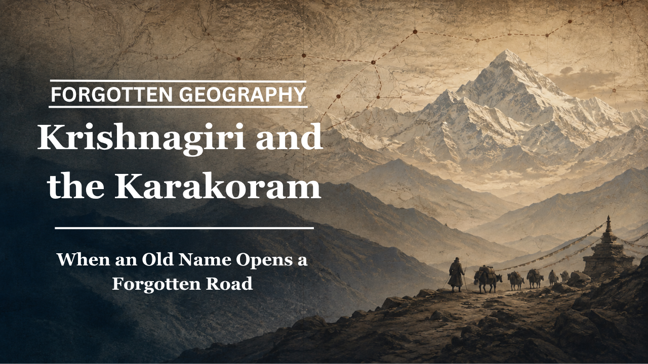
Long before the Karakoram became synonymous with borders and strategic frontiers, its passes formed part of a great network connecting Kashmir and Ladakh with Central Asia.
By Pooja Bhatia
The Karakoram today is usually described in superlatives. It contains some of the highest mountains on Earth, enormous glaciers, extreme weather and terrain that has challenged explorers for generations. In contemporary imagination, it is also closely associated with borders, military geography and strategic competition.
There is, however, another Karakoram hidden beneath this modern image.
For centuries, these mountains were crossed by merchants, monks, pilgrims, envoys and scholars. Caravan routes connected Kashmir and Ladakh with Yarkand, Khotan, Kashgar and the great oasis settlements of the Tarim Basin. What appears on a modern political map as a formidable barrier was also, historically, a difficult but functioning corridor between South and Central Asia.
It is against this background that an intriguing older name enters the story: Krishnagiri.
In his book Beyond the Himalayas: Rediscovering India’s Forgotten Geography, Bharat Nanda examines older Indian geographical traditions in which these mountains are remembered as Krishnagiri, literally suggesting “black mountains” or “dark mountains”. Nanda draws attention to the remarkable similarity between this older expression and the name Karakoram, while also cautioning that the precise historical relationship between the two requires further linguistic and historical study.
Interestingly, this is not a connection found only in Nanda’s book. A recent geological study of the Karakoram published in Earth-Science Reviews notes that the name Karakoram derives from a Turkic expression meaning “black gravel” and also records Krishnagiri, Kanhagiri and Kanheri as names associated with the range in traditional Indian geography.
The convergence is fascinating. But it must be approached carefully.
What Does Krishnagiri Mean?
The Sanskrit elements are straightforward. Krishna can mean black or dark, while giri means mountain or hill. Krishnagiri can therefore be understood as “black mountain”.
The generally accepted explanation of Karakoram is similarly connected with darkness. The term is Turkic in origin and is commonly interpreted as “black gravel”.
At first glance, the similarity seems almost too striking to ignore.
Yet historical geography demands more than similar meanings. It requires evidence showing when a name was used, which territory it described, how widely it circulated and whether later geographical terminology evolved independently or through contact with earlier traditions.
Nanda acknowledges precisely this limitation. His discussion does not ask readers simply to replace Karakoram with Krishnagiri. Instead, it invites the larger question of whether older Indian geographical traditions preserve memories of a mountain landscape that later came to be described through Turkic terminology.
The question is particularly important because the Karakoram was never culturally isolated.
Different communities approached these mountains from different directions. Indian, Tibetan, Turkic, Persian and local Himalayan traditions overlapped across a geography shaped by movement. It is entirely possible for one physical landscape to accumulate several names over centuries.
The history of those names can itself become evidence of the people who travelled through it.
The Mountains Were Also a Road
Whatever uncertainty remains over the precise relationship between Krishnagiri and Karakoram, the role of the mountain system in historical movement is much better established.
UNESCO’s Silk Roads Programme identifies a major corridor connecting India with the ancient Silk Roads through the Karakoram, passing through Srinagar and Leh and continuing towards Central Asia. It describes Ladakh as an important meeting point of long-distance trade routes arriving from Yarkand, Kashmir, Punjab and neighbouring regions.
This geographical position transformed Kashmir and Ladakh into much more than peripheral mountain regions.
A merchant travelling north could move from the Kashmir Valley towards Ladakh, reach Leh, cross into the Nubra region and eventually approach the Karakoram Pass. Beyond the mountains lay Yarkand and the interconnected oasis world of the Tarim Basin.
The journey was exceptionally difficult.
The Karakoram Pass stands at an altitude of more than 5,500 metres. Vegetation is scarce. The landscape offers little natural shelter. Snow, bitter winds, altitude sickness and sudden changes in weather could turn an ordinary stage of a caravan journey into a struggle for survival.
Yet people repeatedly crossed it.
That fact alone changes the way these mountains should be understood.
They were not merely an edge of civilisation. They were part of the infrastructure connecting civilisations.
What Travelled Across the Karakoram?
The most obvious answer is merchandise.
Historical trade through the western Himalayas included textiles, saffron, shawls, food grains and manufactured goods moving northwards, while wool, horses, salt, borax, precious stones, herbs and other commodities moved in the opposite direction. UNESCO’s study of India’s Silk Road connections emphasises the significance of such exchanges through the Karakoram corridor.
But Beyond the Himalayas repeatedly asks readers to look beyond commerce.
Along the same routes travelled Buddhist monks carrying sacred texts. Scholars crossed the mountains in pursuit of teachers and monasteries. Manuscripts written or copied in Sanskrit moved towards Central Asian centres where they could be studied and translated. Travellers heading towards India returned carrying religious ideas, artistic influences and intellectual traditions.
Nanda presents the Karakoram as part of the wider network through which Buddhism and Sanskrit scholarship moved from the Indian subcontinent towards the Tarim Basin and eventually East Asia.
This larger movement is supported by the historical geography of the Silk Roads. UNESCO notes that these routes were used not merely for trade but also for pilgrimage and the transmission of Buddhism between India and Central Asia.
The Karakoram therefore carried more than goods.
It carried knowledge.
Kashmir and Ladakh as Gateways
Modern political geography can make Kashmir and Ladakh appear to lie at the end of the Indian landmass.
Historical geography suggests almost the opposite.
From the perspective of overland trade, these regions opened northwards.
Leh became an important commercial meeting point precisely because roads from different directions converged there. Caravans could arrive from Kashmir, Tibet and Central Asia before continuing towards distant markets.
Beyond the Karakoram stood Yarkand, one of the major commercial centres of the southern Tarim Basin. From Yarkand, routes could continue towards Kashgar, Khotan and other oasis kingdoms.
The sequence matters.
Srinagar, Leh, Nubra, the Karakoram, Yarkand, Kashgar and Khotan should not always be imagined as isolated places belonging to separate historical boxes. At different points in history, they were stages along interconnected journeys.
This is one of the central ideas behind the notion of forgotten geography.
Modern maps emphasise territory.
Old roads emphasise movement.
Geography Remembered Through Names
Mountain communities and caravan travellers did not require modern maps to understand their world.
They learned landscapes through practical memory.
Where was the next source of water?
Which valley offered grazing?
Where could animals rest?
Which pass remained blocked by snow?
Where had earlier caravans suffered losses?
Names often emerged from this relationship with the terrain. They could describe colours, rocks, rivers, mountains, shelters or events associated with particular places.
The possibility that the same mountain environment came to be remembered through expressions associated with darkness in more than one linguistic tradition is therefore historically intriguing.
Krishnagiri may preserve one such memory.
Karakoram preserves another.
Whether one evolved directly from the other is a different and far more demanding question.
From Caravan Route to Strategic Frontier
The historical role of the Karakoram changed dramatically with the rise of modern states, fixed borders, new transportation systems and changing political relationships.
Caravan traffic declined.
Routes that merchants had followed for generations became politically sensitive.
Maps increasingly represented the mountains as dividing lines rather than corridors of exchange.
Yet the physical geography did not change.
The passes remained.
The valleys remained.
The routes remained etched into the landscape even when the caravans disappeared.
This is why old geographical names deserve attention. They can preserve memories of ways in which people once understood a landscape before modern political categories became dominant.
Was the Karakoram Once Krishnagiri?
The evidence allows for a more nuanced answer than either a simple yes or no.
There is published modern scholarship recording Krishnagiri and related forms as names associated with the Karakoram in traditional Indian geography. Bharat Nanda’s Beyond the Himalayas brings this older geographical tradition into a wider narrative about India’s historical connections with Central Asia.
At the same time, proving an exact historical continuity between Krishnagiri and the modern term Karakoram would require considerably more textual and linguistic evidence.
For now, the significance of Krishnagiri lies not in providing a convenient alternative name for a modern mountain range, but in reminding us that geography has many historical layers.
The Karakoram of today is a strategic frontier.
The Karakoram of the caravan age was also a road.
Across those mountains moved merchants with textiles and saffron, animals carrying wool and salt, monks carrying manuscripts and travellers carrying stories about worlds beyond the next pass.
Some of those roads have fallen silent.
Some of the names attached to them have almost disappeared.
Recovering Krishnagiri therefore does not require rewriting the modern map. It requires learning to see what existed beneath it.
And that is precisely where forgotten geography begins.
Pooja Bhatia is a media analyst and law graduate with an interest in history and geopolitics.
